Civil engineering depth. Mathematical rigour. Computational speed.
GeoTangent LLP is an engineering consultancy and technology firm combining sixteen years of public infrastructure delivery with a dedicated applied mathematics cell and calculation tools we write ourselves — applied to water, underground drainage, highways, structures, hydrology and geospatial work.
Most consultants run software. We write the calculation.
When a drawing is revised, the measurement sheet, the bar bending schedule and the abstract are revised with it — because all three are generated from the same parametric model, not reconciled by hand afterwards. Every quantity traces back to a dimension on a drawing, and an engineer signs for it.
See the 3D models →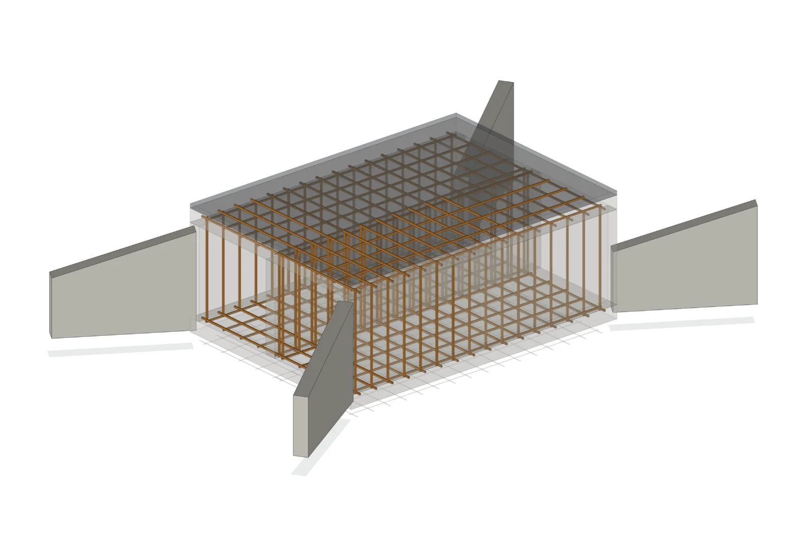
One firm, three capabilities, two accountable partners.
Every serious engineering problem is, underneath, a mathematical problem — and almost every mathematical problem in engineering today can be solved faster, cheaper and more reliably with the right computational tools. GeoTangent exists to close that gap: taking analytical depth that normally stays inside research laboratories and putting it to work on real drawings, real tenders, real fields and real businesses.
Dr. Pawan Nandlal Bhavsar, Ph.D.
Sixteen years across public infrastructure delivery and engineering education — underground drainage, sewage treatment, water supply, highways and urban infrastructure for government clients, as Project Manager and Project Management Consultant on works running into hundreds of crores. Former Head of Department, Civil Engineering (two terms), and author of four peer-reviewed journal papers and an IAHR World Congress paper on hydrological modelling, optimisation and remote sensing.
Writes the computational tools the practice runs on: parametric estimate workbooks, drawing-linked quantity and bar bending schedules, interactive 3D structure models, catchment and hydraulic routines, and optimisation models.
Mrs. Priyanka Pawan Bhavsar
Leads the analytical engine of the firm. Engineering software gives answers; mathematics tells you whether those answers can be trusted, how sensitive they are, and how to improve them — numerical methods, optimisation, statistics, geostatistics and multi-criteria decision analysis, including the calibration, validation and uncertainty analysis most consultancies skip.
Most firms stand on one pillar. The value sits where three overlap.
A design office gives you a drawing. A software vendor gives you a dashboard. GeoTangent gives you a solution where the engineering, the mathematics behind it, and the code that computes it are owned by the same two people who signed your contract.
Hover or tap a circle — the overlaps are not decoration. Each one is a real offering we deliver, named for the client outcome it produces.
Civil Engineering
- Design across all civil disciplines
- Estimation, tendering, PMC
- Field-tested on major public works
Applied Mathematics
- Numerical modelling & optimisation
- Statistics & geostatistics
- Calibration and validation
Computation
- Parametric models
- Traceable quantities
- Decision support
Engineering problems become repeatable once they are written as code. We build the calculation ourselves — parametric estimate workbooks, drawing-linked quantity sheets, formula-driven bar bending schedules, 3D structure models, hydrology routines and optimisation models — in Python, MATLAB, VBA, JavaScript and advanced Excel. AI-assisted tooling sits inside that workflow where it earns its place, and every output is checked and signed by the engineer responsible for it.
Twelve verticals — engage one, or combine several into a turnkey assignment.
This is the work GeoTangent does, day to day — twelve points where analysis touches the ground. The wheel rotates on its own; select any point to hold it, or open the full directory.
Water for agriculture, and intelligence applied where it pays.
Roughly four-fifths of India's fresh water goes to agriculture, and a large part of it is applied on a calendar rather than a measurement. That is the single largest, cheapest water saving available to the country — and it needs no new dam, only better information reaching the person holding the valve.
The calculation is written once. An engineer signs every number.
Seven stages. Each one produces something you can hold and check.
Scroll through the sequence — the rail fills as you go. No stage is skipped, and nothing is delivered until the previous one is agreed.
Listen
Assess data
Field work
Model & analyse
Optimise
Deliver
Support
Six reasons clients choose us over a design office or a software vendor.
Three capabilities, one contract
Civil engineering, applied mathematics and scientific computing, owned by the partners who sign your contract.
Doctorate-level expertise
Doctorate-level water and geospatial expertise leading the technical work — not fronting it.
Real depth in agri-water
Genuine depth in agricultural water and groundwater — an area most civil consultancies treat as somebody else's problem.
Editable, transparent files
Live spreadsheets, editable drawings and source files. You own your files and your data.
Stated accuracy, always
A number without an error bar is an opinion, not a result — every model is reported with its accuracy.
Your language, not ours
Work delivered in English, Marathi or Hindi, matched to the audience who has to read it.
Enquiries welcome — from one farm plot to multi-crore works.
Reach the desk directly, or write in. We work with government departments and urban local bodies, farmer groups and water users' associations, contractors, developers and industries, and consultants, MSMEs and educational institutions.